

Standing Indian Loop (AT Mile 85-103)
Type: Day Hike
Total Mileage: 25.25
AT Direction: Southbound
AT Miles: 85-103
It has been a while since I have had the opportunity to get into the backcountry. With the summer heat starting to kick in, it was time to head for higher elevations which means cooler temperatures overall and less bugs to deal with.
The Standing Indian Loop comprises two notable peaks in the southern Appalachian highlands - Standing Indian Mountain which is the tallest mountain on the Appalachian Trail south of the Smokies and Albert Mountain known for its steep incline and fire tower. It’s also easily accessible via one of the nicest forest service roads that I’ve ever driven on - it’s actually paved. Add to that that it is a short two hour drive from homebase and it made a no brainer for a lovely weekend trip.
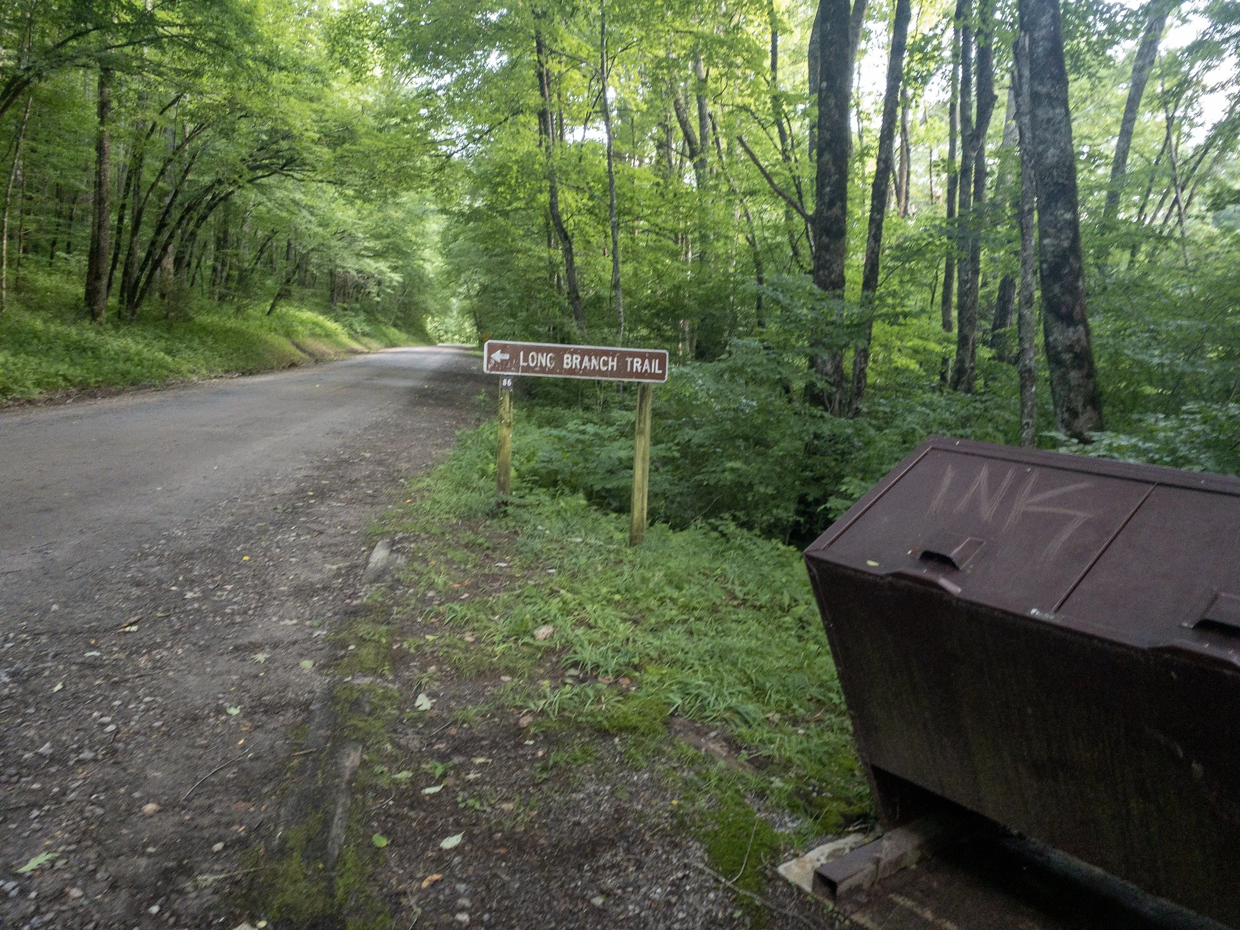
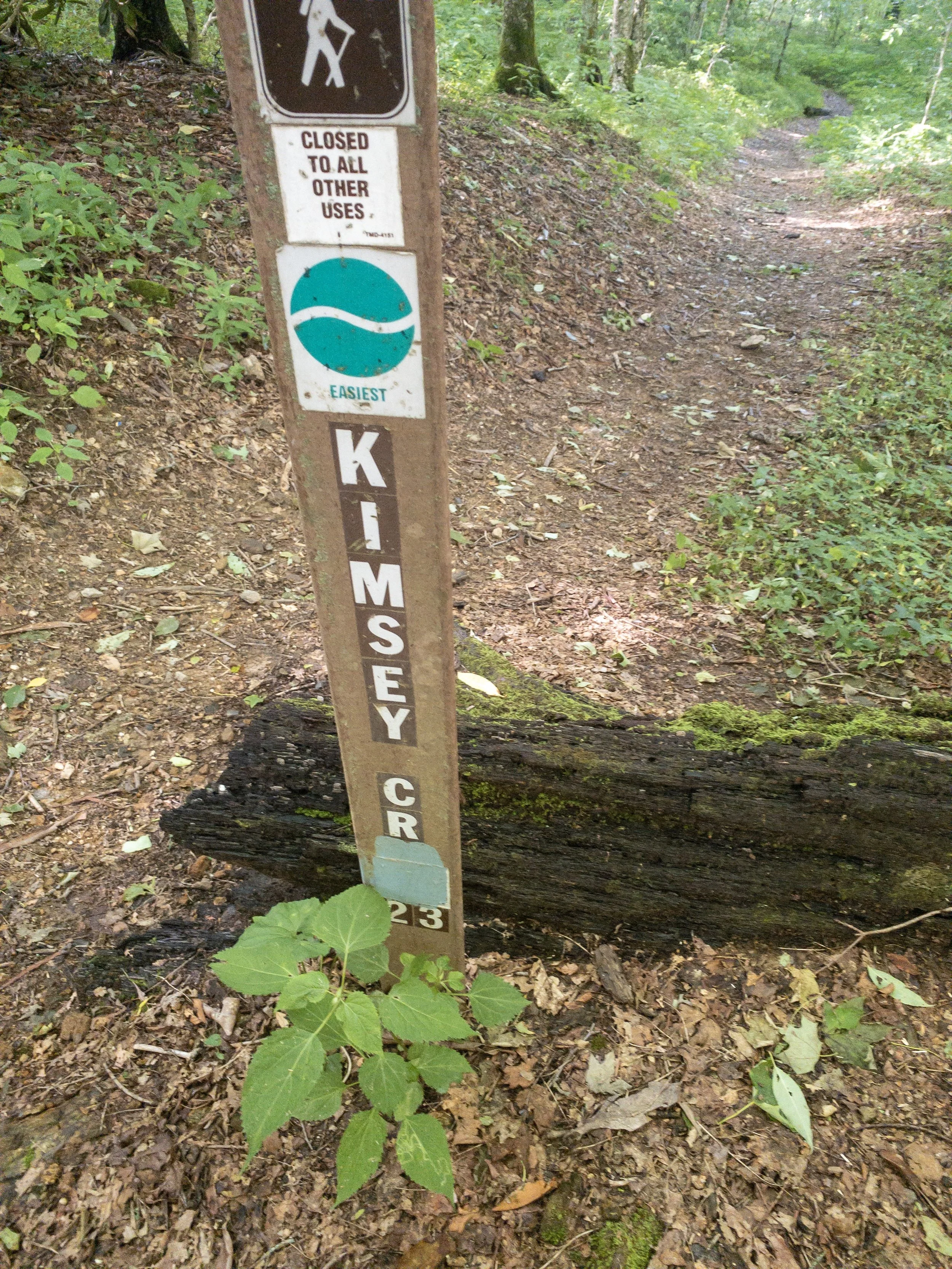
Long Branch Trail sign at the Standing Indian backcountry information trailhead
The hike starts from the backcountry information center next to Standing Indian Campground. If going counterclockwise, you take the Kimsey Creek Trail through Standing Indian campground. In my case I was going clockwise so I would start with the Lower Branch Trail.

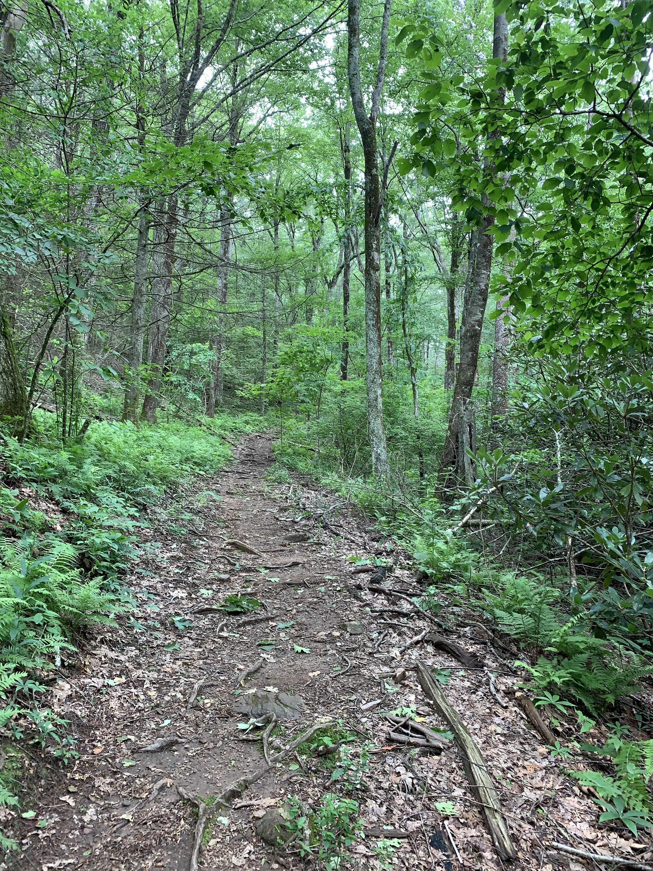
Long Branch Trail
When I got to the trailhead at 8:30 am, I was pleasantly surprised that the temperature was about 66° which for perfect for a start to hike in and bode well for what the rest of the day would be. The Long Branch trailed started like in the other trail around the AT with a moderately steep incline away from the trailhead. Trail width was about 12 to 18 inches with some low branches but the undergrowth was kept in check with the established canopy. The trail was pretty wet from a storm that had passed the night before. While the trail parallels the stream for which it gets its name, there is no easy access to water for the first mile so plan accordingly if you are wanting to pull into the woods late at night when starting this loop.

Glassmine Gap intersection
After a two mile climb, I reached the intersection with the AT at Glassmine Gap. Coming off a side trail into the AT always feels like merging off a two-lane road onto a major highway. The trail width widens significantly. Turning right, I started my trek southbound on the AT pass my first white blaze of the day. The trail continues its climb up to pass the side trail to the Long Branch shelter. I didn’t take the trail down to the shelter as I was full on water already and not ready for a break. Looking at Guthook, it would probably be a nice place to stay if doing the loop counterclockwise and you want to have an easy hike out on day two. About a mile past the shelter, the grade flattens out through some nice rhododendron tunnels as you are just below the ridgeline. While not as steep as the southern side of Albert, the northern side is mostly a slabs of rock which were slick from the previous night’s rain. It is a section to take your time on and plan for a little break on top of Albert.

First white blaze of the trip

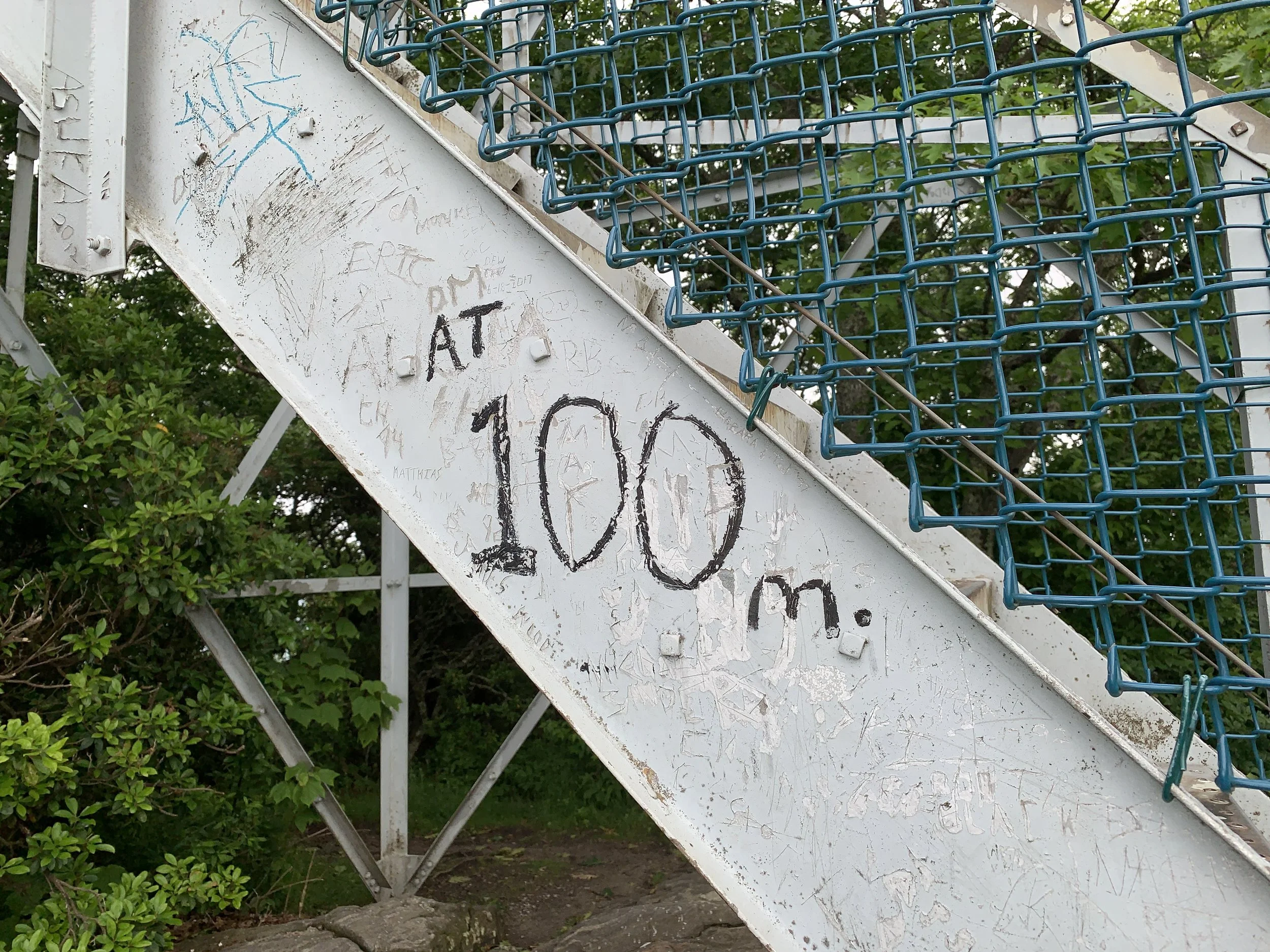
Storms on the horizon from the top of Albert Mountain
As I poked out the top of Albert to see the fire tower, I could see a pretty low cloud layer and the look of a storm in the distance. The wind had been blowing pretty steady since reaching the AT which had been a welcome relief to cool the sweat from the climbing done so far. I didn’t bother going up the fire tower knowing my view from the base wouldn’t improve due to the clouds. I also switched my phone out of airplane mode to try and grab a weather report. There were a few cells of thunderstorms building up in Tennessee over the Smokies that were heading southward in my direction. The next shelter (Carter Gap) in the direction I was heading was six and a half miles down the trail and given my usual hiking speed, I could reach it in about 3 hours maybe just ahead of the storm. So instead of taking a 15 minute break, I devoured a Lara bar with half a liter of water and headed down the trail. From a previous trip, I knew the trail between Carter Gap and Albert Mountain. We had camped on Albert that night and enjoyed a beautiful evening of sunsets and stars followed by an amazing sunrise. Sadly, I didn’t think I would get any of that on this trip with the way the weather was looking.

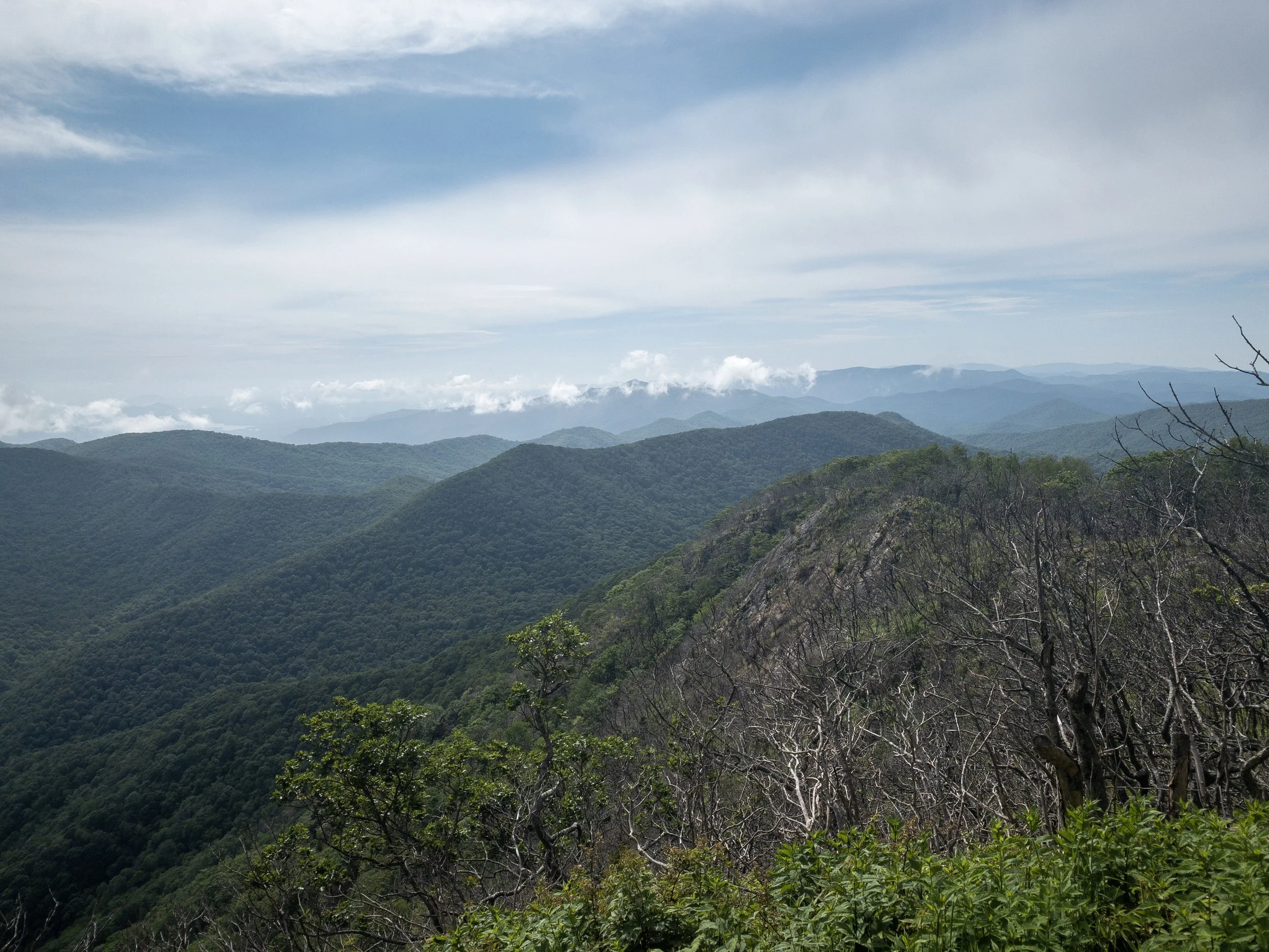
South side of Albert Mountain
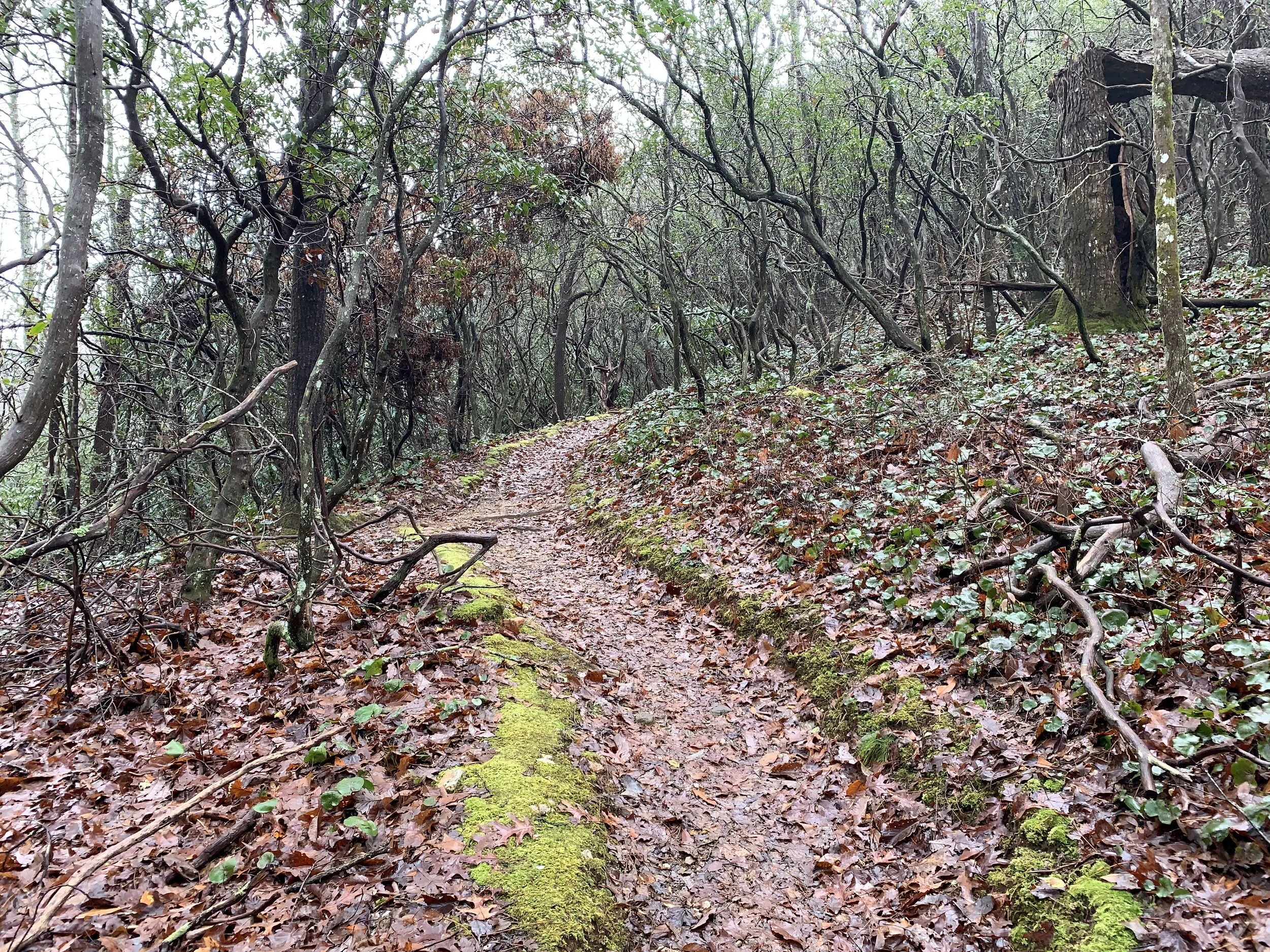
The trail descends steeply down Albert Mountain and along the side slope of Big Butt Mountain. I passed a few other hikers heading northbound as I enjoyed the descent to Mooney Gap and a reliable water source there. The trail descents all the way to Betty Creek Gap and then begins an ascent up to an unnamed peak and finally down into Carter Gap. During this ascent, you are walking the ridgeline for a good bit of time. This part of the trail was involved in a forest fire a few years back and the damage is still pretty apparent. The rhododendrons were there but without much of a canopy, the trail was very overgrown. At times, knee high grass completely covered the trail - I was glad for a recent treatment of permethrin on my socks, gators, shorts, and shirt as this could have been a tick magnet. I would also recommend some piardin as well for exposed skin even though I didn’t pick up any ticks. In this section, there is a very nice cutoff overlook area but with the weather, I took just enough time to snap a few pictures and look out of the ridge to see how the weather was progressing. I had just finished the climb over the unnamed peak and was descending toward Carter Gap when the storm overtook me and the rain started. Luckily, the canopy was back so I didn’t get too much rain on me and with the temperature now in the upper 70s, I had no desire to put a rain jacket on. Additionally, it wasn’t long lived and by the time I made Carter Gap, it had pretty much stopped.
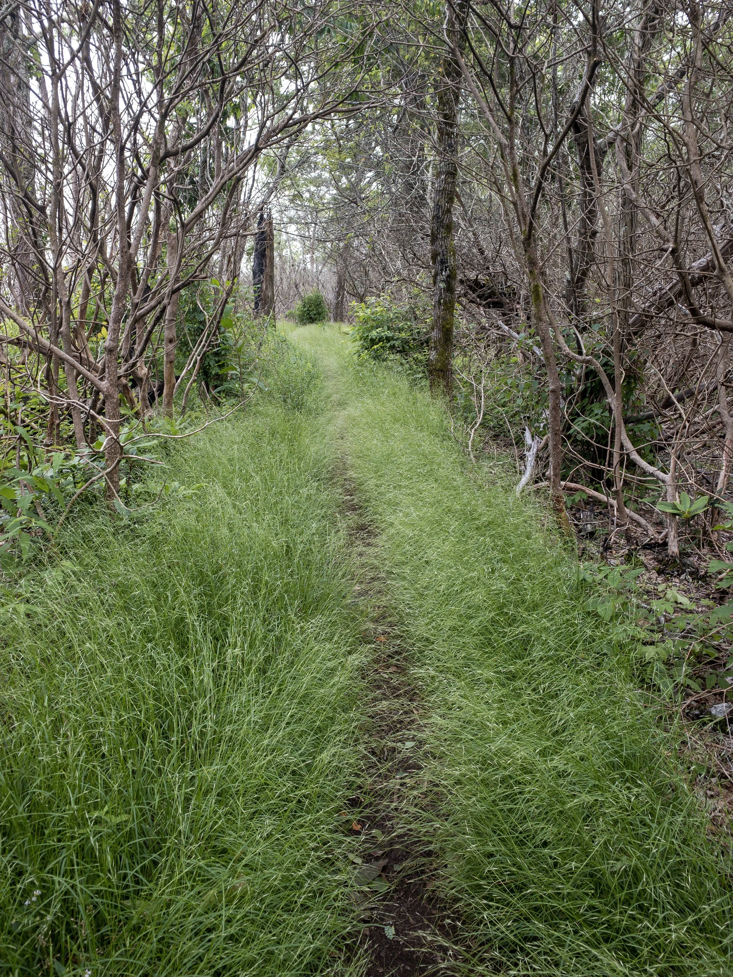
A lot of the trail look like this - overgrown due to a lack of canopy
One of the niceties of the AT is most of the shelters have pivies. While it isn’t a running water restroom, not having to dig a hole and actually having someone to sit is a luxury in the backcountry. Also, having a shelter was a great place to take a break for lunch and wait out the rest of the weather. For lunch today, it was a Pro Bar, a Tillamook meat stick, and a Cliff Bar protein bar. Lunch on the trail is something I’m still trying to get right on the trail. I generally snack as I walk to make sure I’m consistently taking in calories. I generally don’t want to take too long for lunch so I don’t like to cook anything and tuna packets are done for in my book right now. Bars tend to make sense for me and they are one of the few things that I kinda want to eat.
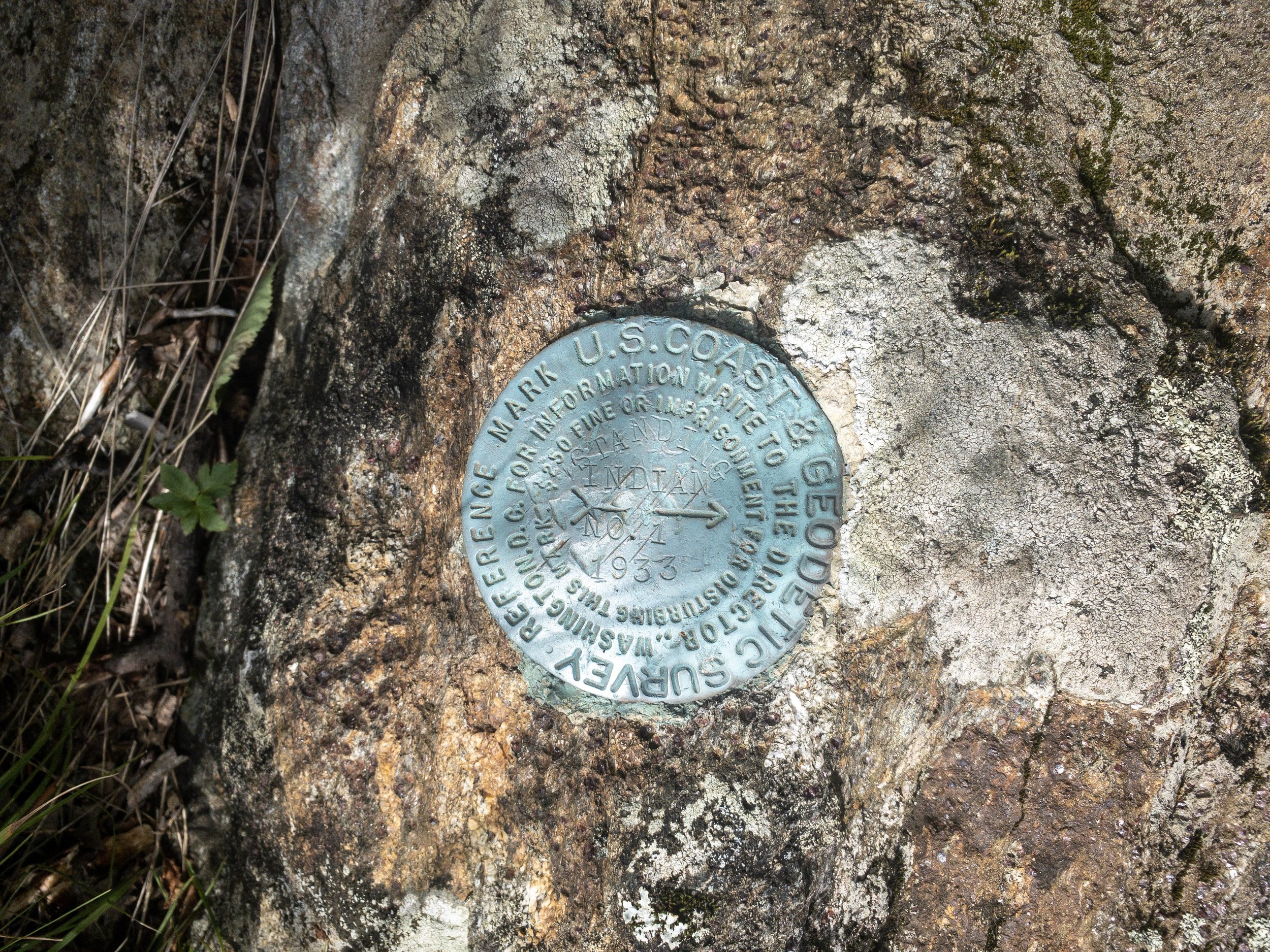
USGS Marker on Standing Indian
I took this break to look at Guthooks to see the distance to Standing Indian Mountain which would be my last climb of the day. I also wanted to see what the camping looked liked along the way. Carter Gap was my minimum distance to a camp based upon the mileage I had left with my target of Standing Indian shelter to make my Sunday an easy day out. Though when I looked at Guthooks, the comments mentioned a bear problem at Standing Indian shelter so ideally I would want to camp on the northern side of Standing Indian or I might be converting this overnight into a day hike. I set off from Standing Indian around 2:30 pm. The trail continued to have its overgrown patches all the way to Standing Indian. There is an intersection on the AT at this point to the spur trail to the summit of Standing Indian as well as a side trial (Lower Ridge Trail) back to the campground. I took the spur trail to the summit and was happy to see the weather had cleared a good bit but the wind was whipping a good bit. In good weather, the summit would be an amazing place to have a tent setup. Several people had already setup just below the summit so I decided not to stay here in addition to the wind. Hammock camping and wind is a great concern and being on the one of the highest mountains around with a high chance of an evening thunderstorm made me want to get to a lower elevation.
View from Standing Indian summit - finally some blue in the sky
I was now resigning myself that this would be a day hike instead of an overnight. Back on the AT, it was 5:00 pm and I had a decision to make. I could either take the Lower Ridge Trail back down to the campground or continue along the AT to Deep Gap and take the Kimsey Creek Trail down to the campground. The former was rated a difficult trail but it would have been shorter and the later gave me more time on the AT and would be an easier trail down albeit more mileage. I decided to continue on the AT and take the Kimsey Creek Trail since if I didn’t want to make it out, I could still make camp somewhere along the way and it gave me a few more miles on the AT. It was all downhill anyway.
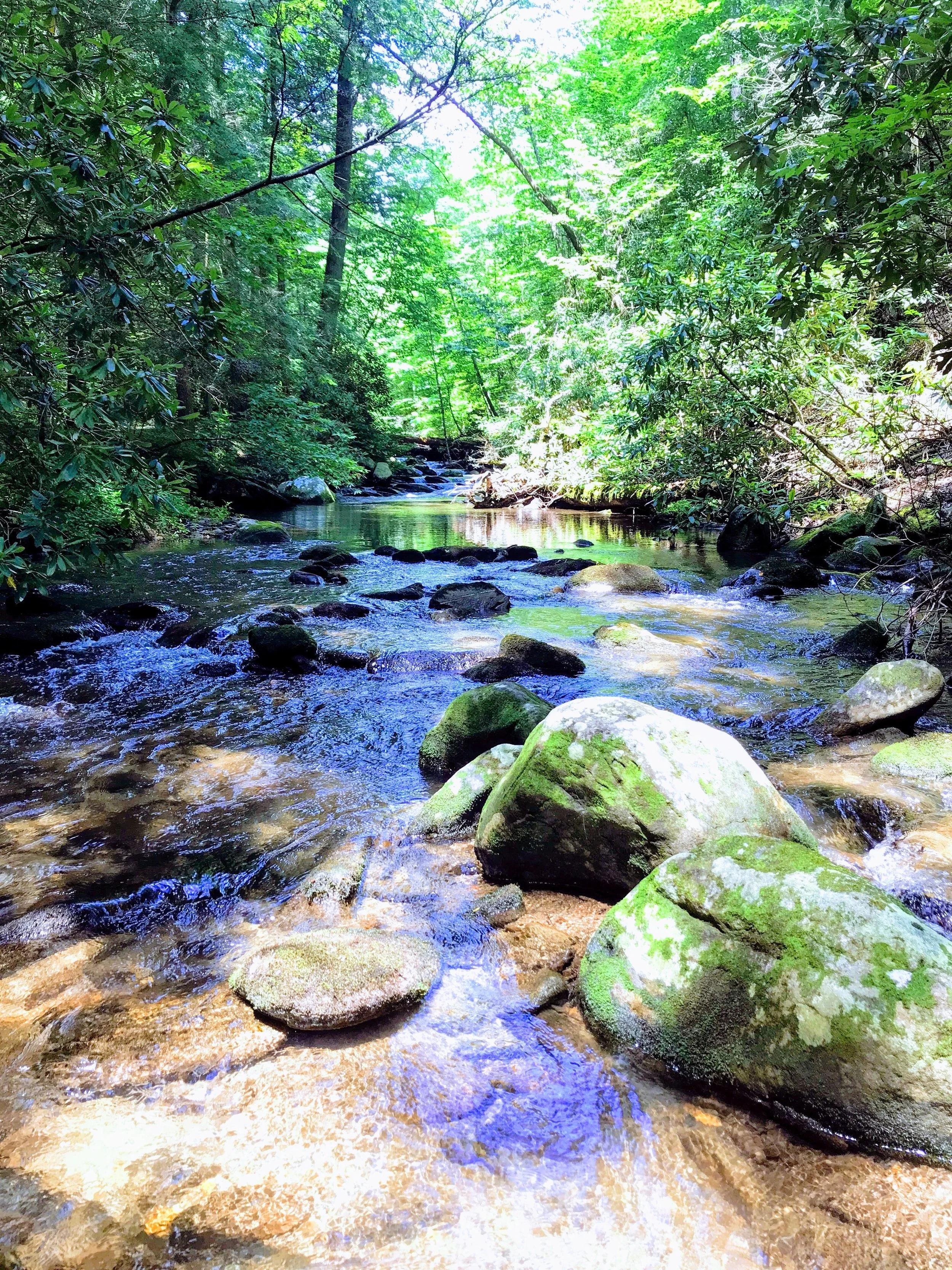
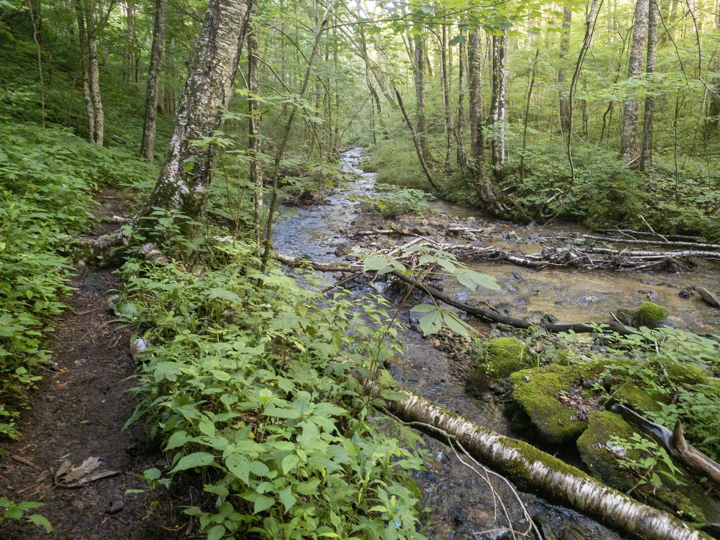
Kimsey Creek at Deep Gap
Thankfully, the AT south of Standing Indian was nightly graded with switchback and the trail was beautifully clear from undergrowth. Based upon
my speed, I figured I would make it out of the woods by 7:30 which was a full hour before sunset. As I reached Deep Gap, I saw a sign confirming the bear problem was covering the entire area of Kimsey Creek and the AT up to Standing Indian. It recommended a bear proof container - I carry and Ursack so I knew I was covered; however, knowing other people probably were not as prepared, I didn’t want to deal with an uninvited guest coming into camp at night and getting someone else’s food. The mind was made up to push all the way back to the car as I turned on to Kimsey Creek. I wouldn’t recommend this trail late in the day. It is pretty boggy with the creek’s feeders sometime flowing thru the trail itself. This lead to consistent companions the entire way back to the car of flies and gnats even with repellent. I dropped in the zone and just pushed through back to the car. After quick stop outside of Franklin for a much needed dinner, I set the GPS for home after a great day hiking and another section of the AT in the books.
Wet trail on the Kimsey Creek Trail
I would definitely do this loop again and probably with a tent. There were plenty of places to pull off and camp along the way and I would like the shelter of a tent from the wind over a hammock though it would be completely doable in either. The more I work on building my solo time, the more I think I would like to use a tent when I’m solo. I feel like it removes some of the things to worry about while I’m building up my confidence. I think either direction on this loop would be good though I would like to try the Lower Ridge Trail over Kimsey Creek to see how it is. If I was to go counter clockwise, I probably would camp between Betty Creek Gap and Mooney Gap. Thought Albert would be a nice place to stay, the fact that it would be a dry camp and the end of a long day, it sounds slightly less appealing.