Coosa Backcountry Trail
Type: Day (Loop)
Total Mileage: 13.8
Little did I know how my hiking season would change right after this hike. As such, this hike was designed to be a training hike as the weather had started to change and to be ready for the spring hikes to come. This wasn’t a new trail for me - if you have read the blog before, this was my first backpacking experience and I had tried the trail as a day hike and failed the previous year. This time, I felt a little better prepared and I decided to tackle the trail in a clockwise direction vs the counterclockwise loop that I had taken the last few times. There were a couple reasons for this -
I would get Slaughter Mountain and the climb up to Coosa Bald out of the way in the early part of the hike instead of looking at dealing with them at the end of the hike.
I would be full of water and could fill up if I needed to before starting the climb up to Slaughter Mountain vs having to camel up on the climb up Coosa which I would then need for the next several miles. Overall, I felt I would be in a better hydration state this way.
It was something different
As I pulled into Vogel, it was cool though warm enough to be able to handle having a pair of tights underneath my shorts and a hoodie to start in. It was a familiar walk up to the trailhead from the parking lot and then continuing left instead of my normal right that I had taken the last couple of times. I had only seen this section of trail once before and really I don’t remember experiencing it much as I just wanted the hike to be over. I remember there being some nice cascades along the way as well.
Coosa Backcountry Trail and Duncan Ridge Trail join up on the climb up Slaughter Mountain
The climb up Slaughter Mountain from this side has nice switchbacks instead of the grueling straight up hill that the other side offers. I also passed the split where the Duncan Ridge Trail continues one to Blood Mountain as this is a popular way to get there from Vogel. Originally, I had thought about adding that spur to Blood Mountain to this hike though it seemed a little bit more than I wanted to bite off. I was very happy with that decision toward the end of the hike. This section of the trail is well blazed and marked - probably for the exact reason above that there are a lot of people using this section. After the summit of Slaughter mountain, it is a steep descent to GA 180 before starting an equally steep climb back up to Wildcat Knob and then toward Coosa Bald. As you near the road, there is a sign warning you of the distance of the trail and difficulty and to use GA-180 to get back to Vogel if you are on the wrong trail.
The sign is no joke - other than it taking more than a day to complete.
You actually do not summit Coosa Bald - the Coosa Backcountry Trail breaks off from the Duncan Ridge Trail before the summit. Water is limited in this section as I mentioned earlier. Either water up toward the base of Slaughter Mountain or be prepared to wait until you start your descent from the Coosa Bald area. Supposedly, there is water near the gap where GA-180 cut through in this section and this a spring further up Coosa Bald on the Duncan Ridge Trail though I don’t have any experience with them nor are they marked.
The two trails parting ways again near Coosa Bald
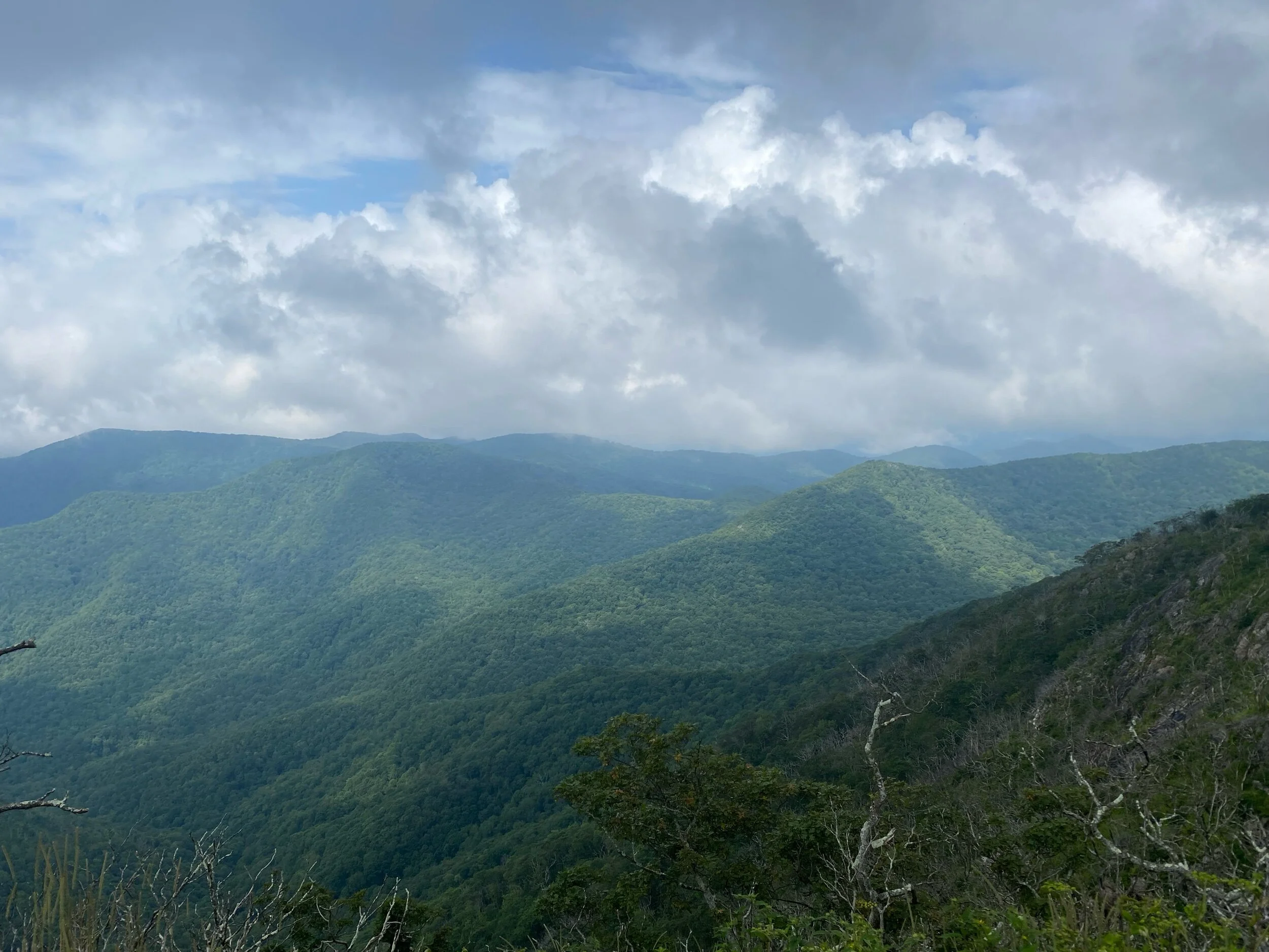
Another benefit of going the clockwise direction is you get to have a slow and gradual descent from Coosa Bald back to the forest service road instead of it being a slow march upward going the other direction. I found this to be so much more pleasing and knowing that I would only have the small climb at the end - more on this later. There aren’t a ton of views for this trail. You do get several nice laurel and rhododendron tunnels. The section from Coosa Bald back to GA 180 is not well blazed though at no point did I feel as if I had lost the trail.
The descent lasts until you hit Forest Service Road 107 where there is a large camping area - this is the only camping area that is marked on the trail map provided by the park. There is almost always someone camping here because of the FS road. It is at this point that you start the climb back up to the second time you cross GA 180. Having only done this section as a descent in previous trips, it feels as long as the climb up from FS 107 to Coosa Bald although I know that is not true. It wasn’t as bad as finishing the day with climbing Slaughter Mountain going the other direction but it was enough of a butt kicker to continue my perception that this is one of the hardest trails in the area. After crossing GA 180 again, it is a nice downhill all the way to the park. Surprising, it was in this section that I encountered my first and only blowdown on the trail. It was a tangled mess of a couple of small trees that completely blocked the trail. Based upon the lack of any path around it, it must have been fairly recent and took just a little bit of bushwaking to get around it.
Blowdown in the home stretch
Overall, it took a little over five and half hours to complete the trail and it was an amazing experience to finally tackle it as a day hike. On Monday, we officially entered work from home related to COVID-19 and thus my backpacking plans for 2020 were completely changed.


